


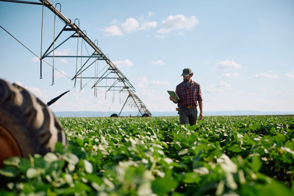
Managing a large farm without accurate location data can quickly become expensive. A farmer may know the total size of the property but still struggle to identify productive sections, plan access roads, locate irrigation points or coordinate the movement of inputs across different fields.
This is where agricultural geospatial services become useful. By combining mapping, location data and field information, farmers and agricultural businesses can understand their land more clearly and make better operational decisions.
For commercial farms in places such as Ogun, Oyo, Kaduna, Nasarawa, Benue and Niger State, accurate farm information can also make transport and logistics planning much easier.
What Agricultural Geospatial Services Can Show About a Farm
A basic farm description such as “50 hectares near Abeokuta” does not tell an operations team enough.
Geospatial work can provide clearer information about:
- Farm boundaries and total land area
- Internal farm roads and access points
- Locations of storage facilities
- Irrigation channels and water sources
- Different crop sections
- Areas that may be difficult for trucks or equipment to access
- Collection points for harvested produce
Once these locations are properly mapped, farm managers can plan activities using actual field information rather than estimates.
This becomes particularly important when several teams, drivers, suppliers or contractors are working on the same property.
How Mapping Helps With Agricultural Transport Planning
Farm logistics often becomes complicated during planting and harvesting seasons.
Consider a farm outside Ibadan that needs fertiliser delivered to three separate fields. Sending one truck to the farm gate without clear directions may create another problem: workers still have to move the fertiliser from the gate to the actual sections where it is needed.
With reliable location information, deliveries can be planned around specific access points.
The same principle applies when harvested maize, cassava, tomatoes or vegetables need to leave the farm quickly. Knowing where produce is being collected can help determine the appropriate vehicle, loading point and route.
Travo.ng can support these movements through transport coordination, cargo logistics, vehicle arrangements and delivery planning where required.
Agricultural Geospatial Services Can Reduce Costly Guesswork
Poor location information often creates costs that are easy to overlook.
A truck may travel several kilometres inside a farming area looking for the right loading point. Heavy vehicles can also be sent through unsuitable roads, especially during the rainy season when rural access routes become muddy or difficult to navigate.
For example, a vehicle carrying farm inputs from Lagos to a location in Ogun State may complete the highway journey without difficulty but lose significant time during the final kilometres because the farm entrance or internal route is unclear.
Accurate farm mapping helps reduce this uncertainty.
It can also make it easier to determine whether smaller pickup vehicles, vans or larger trucks should handle the final movement of goods.
Useful Situations for Farm Owners and Agribusinesses
Agricultural geospatial support is particularly valuable when a business is:
- Developing newly acquired farmland
- Expanding an existing commercial farm
- Planning irrigation or internal roads
- Coordinating multiple crop fields
- Moving equipment between farm locations
- Organising harvest collection
- Planning storage or warehouse locations
- Managing agricultural deliveries across several communities
Large agricultural projects may also need accommodation, vehicle hire or organised transport for consultants, technical teams and field workers visiting remote locations.
These are areas where combining location intelligence with practical logistics coordination becomes useful.
Turning Farm Location Data Into Practical Operations
Having a map is only useful when the information improves what happens on the ground.
Before arranging agricultural transport, businesses should clearly identify the farm coordinates, road condition, nearest major town, suitable vehicle access, loading requirements and expected volume of goods.
For movements from Lagos into agricultural areas around Sagamu, Abeokuta or Ilaro, for example, road distance alone does not determine the delivery time. Traffic leaving Lagos, rural road conditions, rainfall and the distance between the highway and the actual farm can all affect operations.
Travo.ng helps agricultural businesses coordinate the movement side of these projects, including cargo transportation, delivery services, vehicle hire and other logistics requirements connected to farm operations.
With properly planned agricultural geospatial services and reliable logistics support, farm owners can make decisions using better location information while reducing delays caused by unclear routes, poorly planned collection points and inefficient transport arrangements.
For agricultural businesses managing multiple farms, suppliers or harvest locations, combining accurate field data with organised transport can turn complicated farm movements into a much more manageable operation.
