


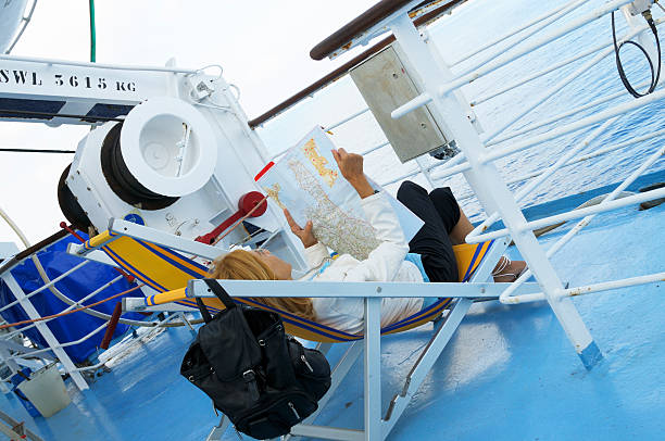
A ferry route map provides a visual overview of ferry routes, departure points, destinations and waterways. It can help passengers, tourists, businesses and groups understand available water transportation options and plan their journeys more effectively.
What Is a Ferry Route Map?
A ferry route map shows the geographical connection between ferry departure and arrival points.
Depending on the service, it may show:
- Ferry terminals
- Boarding points
- Destinations
- Waterways
- Ferry routes
- Connecting transportation points
- Alternative routes
The information available on a route map depends on the ferry operator and the specific waterway.
Why Use a Ferry Route Map?
A ferry route map can help you:
- Identify possible ferry routes
- Understand the distance between locations
- Find departure and arrival points
- Plan a water-based journey
- Compare different transportation options
- Coordinate road and water transportation
Ferry Route Maps for Travellers
Passengers can use route information to determine whether a ferry connects their starting location with their intended destination.
Tourists can also use ferry route maps when planning trips between waterfront destinations.
Before travelling, passengers should confirm that the route is currently operating, as ferry services can change due to weather, maintenance or operational requirements.
Ferry Route Maps for Businesses
Businesses can use ferry route information when planning the movement of:
- Employees
- Equipment
- Supplies
- Vehicles
- Approved commercial cargo
For commercial transportation, the vessel’s capacity and loading requirements should be confirmed before making arrangements.
Ferry Routes in Ghana
Ghana has a coastline, rivers and other waterways where different forms of water transportation may operate.
Ferry routes can connect communities and destinations where suitable vessels and landing facilities are available. However, routes and schedules can change, so businesses and passengers should confirm current operating information before travelling.
What to Check on a Ferry Route Map
When reviewing a ferry route, consider:
- Departure location.
- Arrival location.
- Ferry terminal or landing point.
- Operating days.
- Departure schedule.
- Passenger capacity.
- Vehicle or cargo availability.
- Estimated travel time.
- Alternative transportation options.
Ferry Route Planning
A ferry route map is useful for understanding how different locations are connected by water. However, a map alone may not confirm current availability.
Always verify the ferry operator’s latest schedule and operating conditions before making a reservation.
How Travo.ng Can Help
Travo.ng can help coordinate ferry transportation and marine logistics arrangements where suitable routes and operators are available.
When requesting assistance, provide your departure location, destination, travel date, number of passengers and any vehicle or cargo requirements.
Plan Your Ferry Journey
Understanding the available ferry routes can help you choose a practical water transportation option and organise your journey more efficiently.
Travo.ng can help coordinate ferry transportation arrangements based on your route, travel date and passenger or cargo requirements.
