


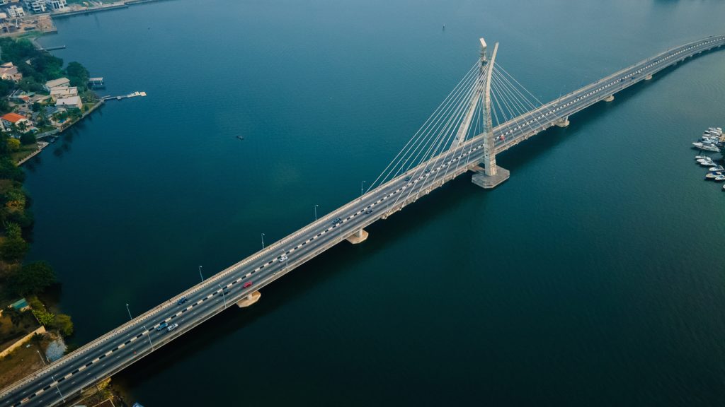
GIS services in Nigeria and GIS consultants in Ghana help organisations answer questions that have a location: which land needs inspection, where a farm is underperforming, how a project affects nearby communities, or which exploration targets deserve fieldwork. The value comes from a defensible decision, rather than a colourful map alone.
If you need geospatial intelligence services, tell Travo Travel Services what you are trying to decide. We can discuss the required technical scope, data products, specialist input and field mobilisation so that a proposal fits the project.
What GIS and remote sensing actually provide
A geographic information system brings together mapped features and their attributes. Remote sensing gathers information from sensors, including satellite and drone instruments. Spatial data analytics compares those observations with other records to find patterns, changes and relationships.
For example, a concession assessment might combine geology, access roads, protected areas, land use, survey coverage and sample locations. A farm project might combine crop boundaries, terrain, rainfall records and dated vegetation observations. Neither dataset becomes reliable simply because it appears in a dashboard: source dates, coverage and validation still matter.
| Business question | Useful dataset | Important check |
|---|---|---|
| Where should we inspect first? | Satellite screening and existing records | Resolution, date and missing coverage |
| What is happening on this site? | Drone imagery and terrain mapping | Flight permissions and independent accuracy |
| Is a change significant? | Comparable observations across dates | Season, sensor and method consistency |
| Can a model identify targets? | Labelled field data and predictive analysis | Independent testing and uncertainty |
| Can staff act on the findings? | Editable GIS files and prioritised tasks | Ownership, training and update process |
Satellite and drone data analysis: choose the right scale
Satellite imagery is useful for screening broad areas and reviewing historical change when suitable imagery exists. Drone acquisition can provide local detail on an approved mission. Field surveys establish measurements and explanations that remote images cannot supply on their own.
Clouds, shadows, vegetation, acquisition dates and pixel size affect optical imagery. An absent feature in a coarse image is not proof that it does not exist. Ask a remote sensing company to explain why the proposed source can detect the feature relevant to your decision.
For detailed site outputs, use our aerial mapping and LiDAR survey buyer guide. For crops, connect analysis to ground checks of crop stress. These are different applications with different validation requirements.
AI mapping services and machine learning geospatial analysis
AI can assist tasks such as classifying land cover, identifying visible features or prioritising areas for inspection. A prediction is an inference from data and model assumptions. It is not a laboratory assay, a legal title check or confirmation of a mineral reserve.
Ask how training examples were selected and whether the model was tested on locations outside the training dataset. A model that works on one landscape may perform poorly on another. Require an explanation of errors that matter to you: missed hazards, false exploration targets or incorrectly classified crop areas.
A useful handover includes confidence or uncertainty information, known failure conditions, validation examples and a human review process. Avoid accepting a single accuracy percentage without its test sample, class breakdown and definition. A high overall score can conceal poor results for the rare feature you actually need to find.
How governments can map mineral potential responsibly
Start by organising existing geological, geophysical and geochemical records with consistent metadata. The NGSA Geodata Centre is an official Nigerian geoscience information resource. Record where information came from and distinguish public datasets from confidential exploration submissions.
A prospectivity map can guide additional investigation; it should not be presented as a map of proven wealth. Public communication should separate mapped geology, exploration indications, tested discoveries and independently assessed resources. Keep restrictions, environmental sensitivities and uncertainty visible alongside opportunity.
For projects spanning Nigeria and Ghana, confirm the applicable data licences, coordinate systems, professional responsibilities and local field requirements separately. A national-level screening map may support policy planning while being too coarse for valuing an individual property.
Advanced geospatial solutions need a usable workflow
- Define the decision. Identify the person who will use the result and what action follows.
- Audit existing data. Check quality, age, permissions and gaps before commissioning another survey.
- Acquire only what is needed. Choose satellite, drone or ground methods according to scale and uncertainty.
- Validate the analysis. Use independent samples and professional review.
- Deliver practical outputs. Include maps, editable files, methods, limitations and an update plan.
The future of African resource exploration is likely to involve better integration of these methods. Faster acquisition and automated analysis can improve prioritisation, but geological interpretation and ground evidence remain essential. Replacing every traditional method with a drone would remove evidence that many decisions still require.
Compare GIS proposals before appointing a consultant
Request named outputs, data ownership, validation tasks, software compatibility and an interpretation meeting. Decide whether you need a one-off report, an editable project or an ongoing monitoring platform. Confirm hosting, access controls, maintenance and export arrangements for any managed system.
Travo can discuss the technical brief alongside project-team travel and supporting service arrangements. Ask for responsibilities and deliverable acceptance criteria to be written into the quotation.
GIS enquiry checklist
Use this checklist to prepare your enquiry. Selections stay in this page only.
Frequently asked questions
Can satellite analysis confirm valuable minerals?
It can help interpret surface patterns and prioritise exploration. Confirmation requires appropriate field investigation, sampling and testing.
Do I need specialist software to receive the results?
Not necessarily. Ask for readable maps and reports as well as interoperable spatial files. Confirm which outputs your team can use and whether training is included.
