


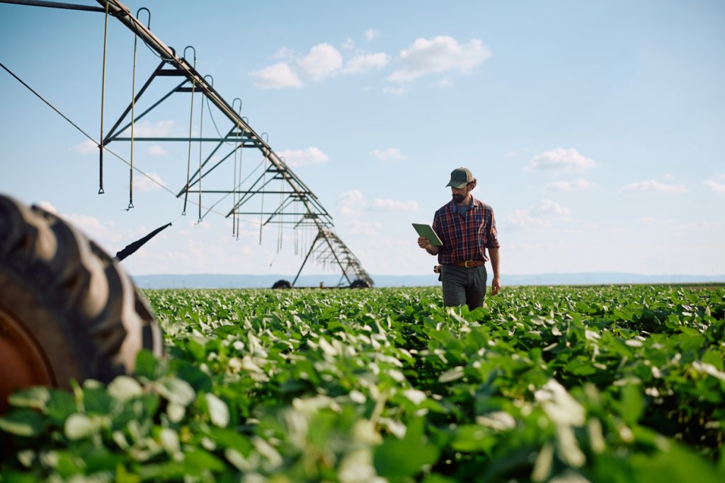
A maize field can look reasonably healthy from the roadside while sections inside it are already struggling with water shortage, nutrient deficiency, pests or disease. By the time leaves begin turning yellow across a large area, the farmer may already be dealing with reduced growth and possible yield loss.
That is why crop stress detection is becoming increasingly useful for commercial farms, agronomists and agricultural projects in Nigeria. Instead of waiting until damage is obvious, farmers can inspect fields systematically and identify problem areas early enough to investigate and respond.
What Crop Stress Detection Actually Shows Farmers
Crop stress detection is not simply about looking for dying plants. The goal is to identify unusual changes in crop health and determine which parts of a field require closer inspection.
Farmers may be looking for signs connected to:
- insufficient soil moisture;
- poor drainage or waterlogging;
- nitrogen or other nutrient deficiencies;
- pest or disease pressure;
- uneven germination;
- heat stress;
- damaged irrigation lines; or
- sections of a field performing differently from surrounding areas.
Drone and satellite monitoring can make this easier on large farms. Vegetation indices such as NDVI use differences in red and near-infrared reflectance to highlight variations in crop vigour, although the resulting map still needs proper interpretation and field verification.
Why Walking the Entire Farm Is Not Always Enough
Manual scouting remains important, but it becomes difficult when an agronomist is responsible for hundreds of hectares.
Imagine a rice operation outside Kano or a maize farm spread across several plots in Kaduna State. Walking every row regularly takes considerable time. A drone survey can first identify unusual sections, allowing the agronomy team to concentrate physical inspections on the areas most likely to have problems.
Comparing observations across dates can help a farm distinguish persistent variation from a single unusual observation. Record crop stage and acquisition conditions, then investigate the causes on the ground before selecting a response.
The important point is that a coloured stress map should guide inspection, not replace it. A weak-looking zone could result from water shortage, poor soil conditions, disease or another issue. Someone still needs to inspect the crop and confirm the cause.
Timing Matters More Than Many Farmers Realise
Crop stress detection is most useful when monitoring is repeated during important growth stages.
If a farmer scans a field only after visible damage has spread, much of the advantage of early monitoring is lost. A better approach is to establish a baseline shortly after crop establishment and compare later observations.
After unusually dry weather, heavy rainfall or irrigation problems, another inspection may be worthwhile.
For farms dependent on seasonal rainfall, conditions can vary within the same field. Rainfall totals alone do not establish root-zone moisture or suitable drainage. Compare mapped variation with soil, crop and management observations.
Getting Teams and Equipment to Remote Farms
The technology is only one part of the job. Field monitoring frequently involves moving people and equipment between cities, farms and sometimes laboratories.
An agricultural consultant travelling from Abuja to farms in Niger or Kaduna State may need transport for personnel, drones, batteries, sampling equipment and protective cases. Larger agricultural projects may also need repeated vehicle arrangements during planting and growing seasons.
This is where Travo.ng can support the operational side through vehicle hire, transport coordination and cargo logistics. Instead of an agronomy team spending valuable field time arranging different drivers or moving equipment separately, transport can be coordinated around the inspection schedule.
For projects involving multiple farm locations, planning these movements in advance also reduces delays caused by poor road access, long distances and unexpected vehicle availability problems.
Turn the Stress Map Into a Field Decision
The real value of crop stress detection comes after the image has been processed.
A useful workflow is straightforward: identify unusual zones, visit those locations, inspect the crop, determine the likely cause and decide whether irrigation, fertiliser application, pest control or another intervention is justified.
Technology should help farmers inspect smarter rather than simply produce attractive maps.
For agricultural companies managing farms across different Nigerian locations, combining reliable crop monitoring with organised field transport and equipment movement can make the entire process faster and more practical. Travo.ng can help coordinate the transport and logistics required to keep those field operations moving.
Why your crops may be failing even when rainfall is good
Total rainfall does not show whether roots have suitable moisture throughout the growing season. Water can run off compacted ground, collect in poorly drained areas or arrive at an unsuitable time. Crop performance may also be affected by nutrients, pests, diseases, establishment and other conditions.
A vegetation index identifies variation; it does not reliably identify one cause by itself. The FAO discussion of multispectral crop monitoring highlights the difficulty of distinguishing stress causes from imagery alone. Use maps to target field checks rather than automatically selecting a chemical treatment.
| Possible issue | Useful ground check |
|---|---|
| Waterlogging or poor drainage | Inspect wet zones, roots and drainage after rain |
| Compaction or runoff | Assess soil structure and infiltration with an adviser |
| Nutrient imbalance | Appropriate soil or plant testing |
| Pests or disease | Field scouting and qualified diagnosis |
| Uneven establishment | Compare planting records and plant counts |
Turn a stress map into a farm decision
Mark affected zones, inspect representative locations and record observations with dates. Compare with healthier areas and review management history. An agronomist can then recommend a justified intervention and a follow-up check.
Repeat observations at comparable crop stages where possible. A change in imagery can reflect crop development or acquisition conditions, so avoid judging success from a colour change alone. Track field results and costs as well.
Request farm mapping support from Travo
Provide crop type, farm boundary, planting dates, symptoms and the decision required. Ask Travo to discuss mapping, specialist interpretation and farm logistics. Read our precision agriculture guide for practical implementation and geospatial analytics guide for validation questions. A useful scope includes ground checks, an actionable report and a review of whether the response improved conditions.
