


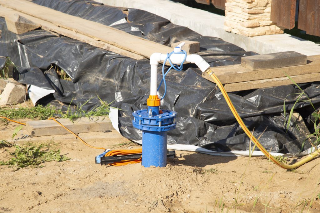
If you are planning to drill a borehole, one of the first questions you are likely to ask is, how deep is groundwater on my land? The honest answer is that groundwater depth cannot be confirmed by looking at the surface alone.
Two properties on the same street can produce very different drilling results. One borehole may reach water at a moderate depth, while another nearby site may require deeper drilling because of changes in rock formation, soil type and underground fractures.
That is why a proper groundwater survey is important before drilling equipment arrives.
Groundwater Depth Changes From One Area to Another
There is no single borehole depth that applies across Nigeria. Conditions vary between coastal areas, rocky regions, inland communities and densely developed cities.
In parts of Lagos, Ogun and the Niger Delta, groundwater may be relatively accessible, but water quality can be affected by salt, iron, sewage contamination or nearby drainage channels.
In areas around Abuja, Jos and parts of the South-East, drilling may involve harder rock formations. The water may be stored within cracks and fractures rather than in broad layers of sand.
This means a contractor cannot reliably estimate depth using location alone. Previous drilling records from nearby properties can help, but they should not replace a survey on the actual land.
What Determines How Deep Drilling Must Go
Several factors influence groundwater depth and borehole success.
These include:
- The geological formation beneath the property
- The height and slope of the land
- Seasonal changes in the water table
- Nearby rivers, streams or wetlands
- Existing boreholes in the area
- Underground rock fractures
- The quantity of water required
- The level of development around the site
A household using water for bathrooms, kitchens and washing may not require the same borehole yield as a hotel, estate, factory or poultry farm.
The target is not simply to reach water. The drilling team needs to find a source that can provide a dependable quantity without drying up after short periods of pumping.
Why Guessing Based on a Neighbour’s Borehole Can Fail
Property owners often ask neighbours how deep their boreholes are and then use that figure as a drilling target.
This can be useful as background information, but it is not enough for planning. Underground formations are not always uniform. A neighbour may have drilled into a productive fracture that does not continue beneath your property.
A site in Lekki may also face different water-quality concerns from one in Ikeja, while two plots in the same Abuja district may encounter different rock depths.
Relying entirely on a nearby borehole can lead to:
- Stopping before reaching a reliable water source
- Drilling far deeper than necessary
- Choosing the wrong point on the property
- Paying for an unsuccessful drilling attempt
- Producing water with poor quality
A geophysical survey helps narrow down the most suitable location before drilling begins.
What a Groundwater Survey Can Tell You
During a survey, specialists assess the land and use equipment to study underground resistance patterns. These readings help identify water-bearing layers, weathered zones and fractures.
A useful report may provide:
- The recommended drilling point
- An estimated depth range
- The likely underground formation
- Alternative drilling points
- Notes for the borehole contractor
- Access or site preparation requirements
The depth remains an estimate until drilling is completed, but the survey reduces uncertainty and gives the contractor a more informed starting point.
Prepare the Land Before the Survey Team Arrives
Access problems can delay groundwater assessment, especially on undeveloped estates, farms and construction sites.
Before the visit, confirm that the survey team can reach the property and move equipment around the proposed drilling area. Clear heavy vegetation where necessary and remove parked vehicles, building materials or debris that may block the work.
For remote projects, the team may need transport for personnel, survey equipment and temporary site supplies. Rainy-season roads may also require a suitable pickup truck or four-wheel-drive vehicle.
Travo.ng can help coordinate field transportation, vehicle hire, equipment delivery and accommodation for survey teams working across Nigeria.
Plan the Survey Before Paying for Drilling
When asking how deep is groundwater on my land, avoid accepting an exact answer from anyone who has not inspected or tested the site.
A professional survey may not remove every drilling risk, but it can help prevent expensive guesswork. It also allows you to plan the drilling budget, equipment requirements and project timeline more realistically.
Travo.ng supports homeowners, developers, farmers and businesses with transport coordination, equipment movement and practical logistics for groundwater surveys and borehole projects. With the right site assessment and field support, you can approach drilling with better information and fewer avoidable delays.
