


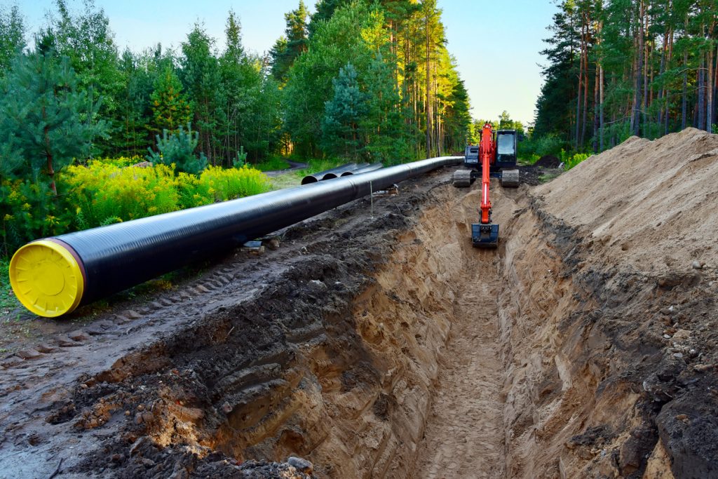
Oil fields, pipeline corridors, transmission lines and renewable projects can benefit from spatial records and repeat inspection. The value depends on asset information, suitable sensors, qualified interpretation and a clear response process. This guide helps Nigerian asset owners prepare an enquiry for mapping, monitoring and inspection without buying a generic flight that misses the actual requirement.
Oil field mapping and pipeline corridor inspection
Provide the asset owner, authorised corridor, approximate extent, available drawings and purpose of the survey. Distinguish a visible right-of-way change, a pipeline alignment record and an integrity assessment. Ask how the operator will reference observations to the asset register and flag sections that could not be inspected. Ground-based utility detection may be needed where the question concerns buried alignment.
For recurring pipeline monitoring services, agree the baseline, reporting interval and change categories. New excavation, erosion or vegetation change can deserve investigation, but visible change alone does not identify its cause. A report should distinguish an observation from a confirmed defect and identify the person responsible for review and follow-up.
Pipeline leak detection: specify the substance and method
Ask which product, leakage scenario and operating conditions the proposed sensor can assess. Some inspections look for visible surface evidence; others need appropriately selected specialist instruments and ground verification. An ordinary thermal image is not a universal hydrocarbon detector. Detection performance depends on the actual equipment, access, weather and target conditions.
A monitoring contract should explain what an alert means, how it is checked and how urgent findings reach the asset owner. No detection is not proof that a pipeline has no leak. Keep operational coordinates, access arrangements and detailed asset information within the authorised project team rather than publishing them as marketing evidence.
Oil spill detection and environmental monitoring
The National Oil Spill Detection and Response Agency is Nigeria’s official starting point for oil-spill reporting and response information. Commercial mapping can contribute location and extent observations, but does not replace the responsible reporting, response or investigation process. Do not wait for a private survey quotation before reporting an active suspected spill through the appropriate authority and asset-owner channels.
Imagery may help document visible affected areas and repeat change. Confirm the time of acquisition, weather, coverage and interpretation confidence. Soil or water contamination and remediation performance may require sampling and laboratory work. A clean-looking surface does not prove that every contaminant has been removed. Agree which evidence is needed for the actual environmental question.
Powerline and transmission line inspection
Define the asset list, voltage environment, inspection objective and the owner’s operating restrictions. Qualified personnel should plan work around electrical hazards and the required authorisations. A visual inspection can document visible conditions; suitable thermal inspection can help identify temperature patterns that need expert interpretation. Neither establishes every internal equipment condition.
Request asset-linked findings with location, image reference, observation, confidence and recommended follow-up by the responsible specialist. Keep the inspection separate from repair authorisation. A dramatic thermal colour palette is not a severity ranking without valid measurement conditions and competent assessment. Confirm coverage gaps and whether ground inspection remains necessary.
Solar farm mapping and energy asset monitoring
For solar projects, separate site planning from operating-plant inspection. Mapping can support layout and access assessment; the electrical and performance questions require their own scope. The US Department of Energy photovoltaic operations guidance includes imaging among maintenance activities. It does not mean one aerial image replaces electrical tests or a full maintenance programme.
For an operating plant, specify panel and equipment identifiers, acquisition conditions, desired outputs and how findings enter maintenance planning. For a new site, include terrain, shading, drainage, access and available grid or connection information. A suitability map is an input to engineering and commercial evaluation, not proof of project yield or approval.
Wind farm site assessment and utility corridor monitoring
Wind project assessment needs more than a terrain map. Resource measurements, constraints, access, environmental considerations and engineering design must be addressed by the appropriate specialists. For a utility corridor, state which assets and changes matter and agree the verification and escalation process. Keep data dates visible when comparing new observations with old drawings.
Energy survey enquiry checklist
Use this checklist to prepare your enquiry. Selections stay on this page only.
Coordinate energy surveys with Travo
send Travo your enquiry with the asset type, authorised location, approximate area or corridor length and required outcome. Ask Travo to confirm the technical operator, permissions, specialist interpretation and mobilisation support through the Travo service catalogue. Related reading includes aerial survey deliverables, GIS data workflows and project logistics planning. A survey quote should identify exactly what is measured, what remains untested and which professional signs the conclusions.
Related survey and planning guides
- GPR Surveys and Underground Utility Mapping in Nigeria and Ghana: What Is Under Your Land?
- Environmental Surveys in Nigeria: Contaminated Land, Ecosystems, Radiation and Carbon Monitoring
For authorised response support, see security and thermal drones for search, rescue and disaster mapping.
