


If your question is “what is under my land?”, first identify the decision: avoiding a cable during excavation, investigating an old foundation, checking a suspected cavity or assessing geological conditions. Those needs call for different investigation scopes. This guide helps Nigerian and Ghanaian clients prepare an underground mapping enquiry that a survey team can assess.
What ground penetrating radar measures
GPR transmits electromagnetic pulses and records reflections from contrasts in the subsurface. The US EPA technical overview of GPR explains the method and its dependence on site conditions. A reflection is evidence to interpret, not automatically a pipe, cavity or mineral deposit. The report should explain why a feature is classified and how uncertain the interpretation remains.
Buried cable and pipeline detection
For underground utility mapping, provide existing drawings, records of past works and known service access points. Ask how GPR will be combined with other suitable locating methods and surface inspection. The FHWA underground utility guidance describes both useful detection conditions and limitations where material contrasts or ground conditions are unfavourable.
A survey line on a drawing should identify whether it was detected, inferred from records or otherwise interpreted. Ask for the survey date, coordinate reference, indicated depth basis and confidence information. An old plan is useful background but is not proof that a buried cable remains in the same position or that all abandoned services are shown.
Underground structures, buried objects and voids
Describe the suspected target, expected size and depth if known, site history and any visible settlement. A buried tank, old wall and air-filled cavity do not present the same survey problem. A geophysicist may recommend GPR, electrical resistivity, seismic or another method, or a combination. See magnetometer versus GPR survey principles before selecting equipment solely from a service name.
A possible void or unusual reflection needs professional evaluation and, where appropriate, controlled verification planned by the responsible engineer. Do not dig or load a suspected unstable area simply to check a map. An absence of detections should be reported within the survey’s actual coverage and limitations, not as a guarantee that the ground contains nothing.
Why GPR depth and accuracy are site-specific
Conductive materials, including clay-rich soils and saline porewater, can strongly limit radar penetration. Antenna frequency, target size, surface access and interference also affect results. USGS GPR research illustrates the conductivity and penetration trade-off. Do not accept one guaranteed investigation depth for every Nigerian or Ghanaian site.
Ask whether a pilot area or feasibility assessment is appropriate before commissioning the full property. Require a clear description of inaccessible areas and the method for estimating depths. Ground sample spacing, drawing scale and instrument resolution are not interchangeable with demonstrated location accuracy.
| Enquiry | Information to provide | Output to discuss |
|---|---|---|
| Buried pipeline or cable | Known records, corridor, intended excavation and access. | Mapped observations with depth basis, confidence and limitations. |
| Old underground structures | Historic plans, surface evidence and suspected target. | Interpreted features and verification recommendations. |
| Possible cavities or voids | Settlement history, ground conditions and intended loads. | Anomaly assessment linked to engineering follow-up. |
| Whole-property investigation | Boundary, project objective and required decision. | Method-led scope, coverage plan and usable data handover. |
Nigeria and Ghana: check the technical team and access
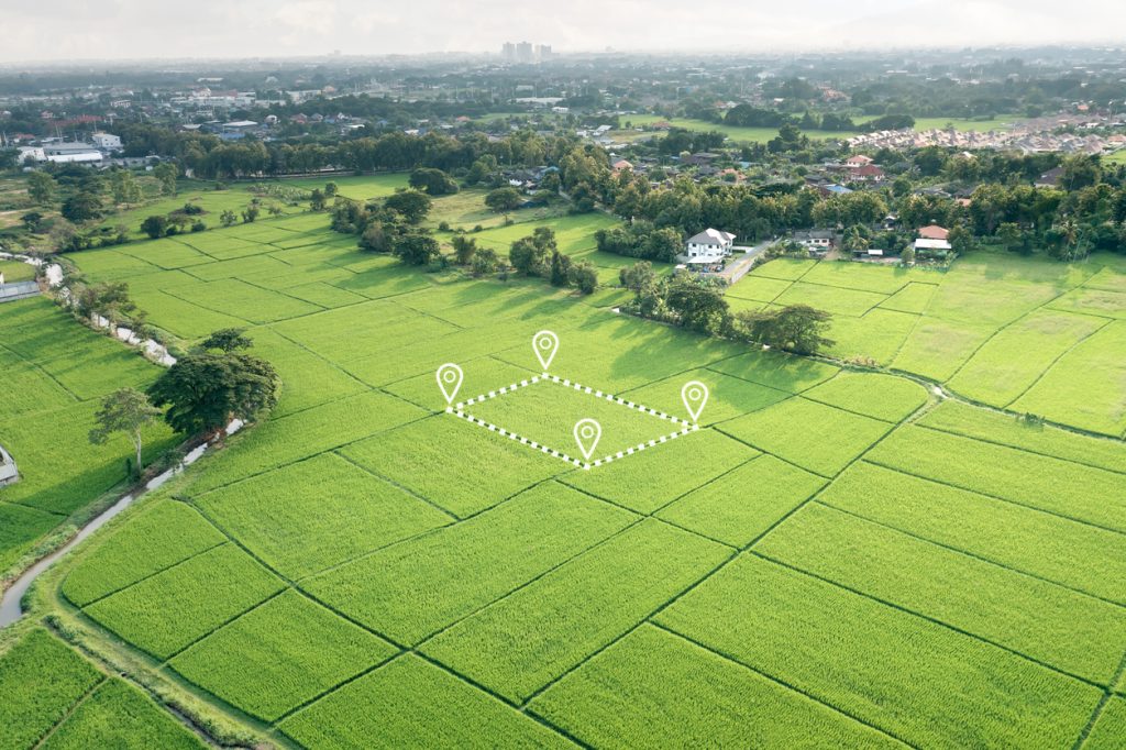
Ask the subsurface survey company who designs the method, carries out fieldwork and signs the interpretation. Review comparable work, calibration or quality-control arrangements, access requirements and the proposed report. A drone photograph of the surface does not replace ground-based utility detection. The Nigerian Geological Survey Agency is an official starting point for national geoscience context, not a booking guarantee for a private survey.
For Ghana, confirm local site permissions and the provider’s technical scope. If aerial mapping is added, it brings separate aviation requirements; ground GPR does not itself imply a drone flight. Compare Ghana geophysical field planning and Nigeria survey logistics for mobilisation questions.
Underground survey brief
Use this checklist to prepare your enquiry. Selections stay on this page only.
Request underground mapping support through Travo
send Travo your enquiry with your location, site size, records, intended work and decision deadline. Ask Travo to confirm the technical provider, method, deliverables and mobilisation arrangements. The Travo service catalogue also supports enquiries for team transport, accommodation and equipment movement. A quotation should separate survey interpretation from logistics and any later verification. Do not begin excavation solely because an enquiry or preliminary scan has been completed.
