


To know whether there are valuable minerals under your land, you need evidence from a qualified geological investigation. Rock colour, a quartz vein, a neighbour’s discovery or a drone image can raise a question, but none proves a commercially valuable deposit.
People searching for signs of gold, lithium or rare earth minerals usually want to decide whether to investigate, buy land or approach an investor. This guide gives you a practical screening checklist and explains when to commission mapping, samples and specialist surveys through a properly scoped enquiry.
Gold, lithium and rare earths need different investigations
There is no universal visible sign that identifies all three. A geologist considers the deposit type, host rocks, structure and local geological history. The appropriate sample preparation and laboratory method also depend on the commodity and investigation objective.
The NGSA geological map catalogue provides regional information relevant to prospectivity. Being in a promising district does not establish that a particular plot contains a deposit. Use regional records to frame a hypothesis, then investigate the property itself.
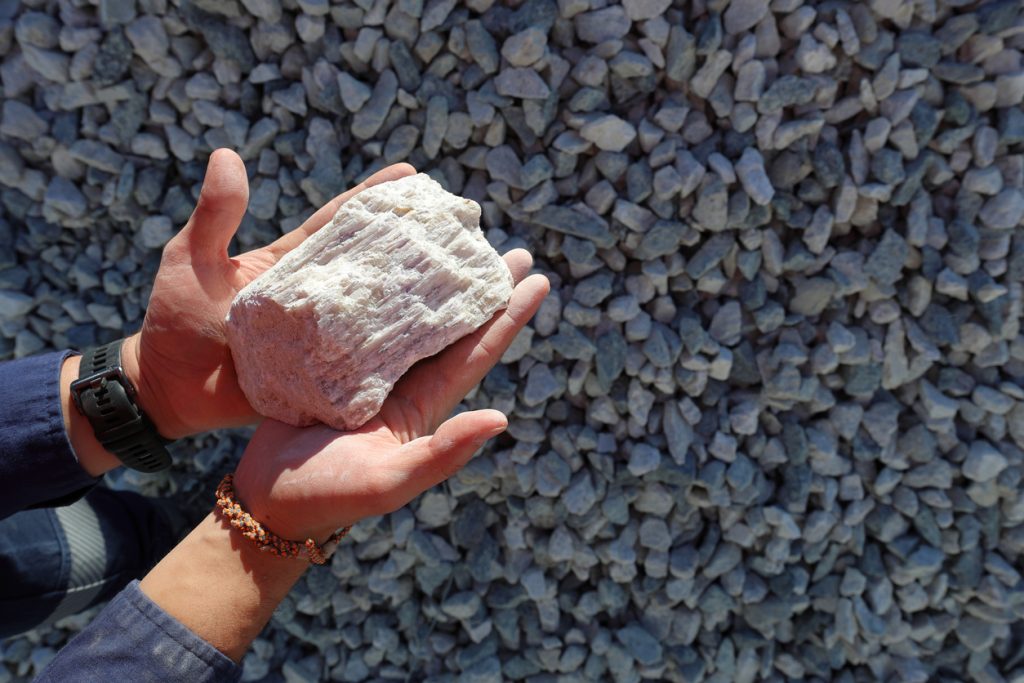
Gold-coloured material can be another mineral. A light-coloured rock cannot establish lithium content. Rare earth potential cannot be valued from appearance alone. Avoid selling, purchasing or advertising land as mineral-bearing until the supporting evidence and its limitations have been independently reviewed.
20 checks that may justify further investigation
These are evidence checks, rather than twenty diagnostic signs. Several may be absent from a promising site, and several may be present without an economic deposit.
- Location accuracy: Do the coordinates identify the actual property?
- Regional geology: Is the geological setting relevant to the mineral being discussed?
- Nearby documented occurrences: Are records credible, dated and spatially relevant?
- Historic exploration: Are original reports available rather than stories alone?
- Mapped host rocks: Has a geologist identified them on the property?
- Structures: Are faults, contacts or fractures relevant to a plausible deposit model?
- Veins or intrusions: Are their mineralogy and context professionally assessed?
- Alteration: Is any altered rock connected to a tested geological interpretation?
- Weathered material: Could weathering have changed or concentrated the observed material?
- Drainage context: Where might transported material have originated?
- Old workings: What was actually extracted and documented?
- Representative sampling: Does the sample represent the site rather than a selected specimen?
- Sample provenance: Can the collection location and handling be verified?
- Laboratory results: Was a suitable analytical method used?
- Quality controls: Were blanks, duplicates or reference materials appropriate to the programme?
- Repeatability: Do independent checks support the initial result?
- Spatial continuity: Is there evidence beyond one isolated sample?
- Geophysical context: Does an anomaly support the geological model?
- Depth and geometry: What remains unknown below the surface?
- Practical constraints: Could access, rights, environment or processing prevent development?
What drones can and cannot tell you
Aerial imagery and terrain models help map visible features, access, drainage and surface disturbance. Specialist geophysical surveys measure physical properties that can help interpret geology. A magnetic anomaly is not a label saying gold, lithium or rare earths are present.
Read our drone-based mineral exploration explanation and magnetometer survey guide before choosing equipment. The right method follows the geological question; the sensor name should not determine the entire exploration strategy.
From an interesting sample to a credible discovery
Record the sampling plan, sample locations, handling and analytical method. Ask a qualified professional to distinguish an interesting indication from evidence of continuity. A high result from one selected rock cannot establish the grade or tonnage of a deposit.
Further investigation may require mapping, systematic sampling, geophysics and appropriately authorised drilling. The sequence should address the most important uncertainty first. Agree what result would justify continuing and what result would stop the project, so enthusiasm does not replace a decision process.
Even confirmed mineralisation may be uneconomic. Extraction method, processing recovery, infrastructure, operating costs, environmental obligations and market conditions affect whether a discovery can become a viable project.
Mineral potential does not automatically increase land value
Do not multiply an assumed tonnage by a commodity price to value a property. That overlooks evidence quality, recovery, costs, legal rights and the time needed to develop a project. Ask for separate assessments of the surface property, mineral rights and technical exploration evidence.
In Nigeria, the Minerals and Mining Act governs mineral rights. Get current title and legal advice before exploration or extraction. Owning the surface does not automatically authorise mining, and finding a mineral does not automatically secure a licence.
How Travo can assist your next step
Send Travo your objective, location, available reports and intended decision. Ask us to discuss a staged survey scope and the qualified professionals needed to interpret it. Include field equipment logistics and team travel if mobilisation is part of the project.
Before spending on mineral exploration
Use this checklist to prepare your enquiry. Selections stay in this page only.
Questions landowners ask
Can I test a rock myself?
You can document where it was found without disturbing unsafe workings. Reliable identification and valuation need appropriate professional assessment and laboratory analysis.
Is an old mine proof of a valuable deposit?
No. Old workings may indicate historic activity, but do not establish present rights, remaining material, economic grade or safe access. Never enter unsupported pits or shafts to investigate.
