


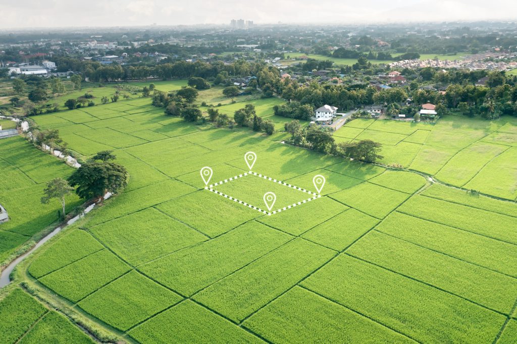
Managing farmland becomes much easier when you know exactly what you are working with. This is where farm mapping services become useful. Instead of relying on rough estimates, old boundary descriptions or physical inspection alone, farmers and agribusinesses can use accurate mapping to understand land size, field boundaries, access routes and how different parts of a farm should be used.
For anyone developing farmland in places such as Ogun, Oyo, Kaduna, Nasarawa, Benue or around the outskirts of Abuja, proper mapping can prevent expensive mistakes before cultivation, irrigation or construction begins. Travo.ng can help coordinate farm mapping alongside the transport and logistics support needed to move people, equipment and materials to agricultural locations.
What Farm Mapping Actually Shows You
A useful farm map should provide more than a drawing of the property.
Depending on the type of project, mapping can help identify:
- Farm boundaries and approximate land area
- Existing access roads and possible new routes
- Crop production sections
- Buildings, storage areas and processing points
- Water sources and irrigation zones
- Difficult terrain or areas that may require special access
- Locations suitable for future expansion
This information is particularly important when somebody buys or leases a large piece of agricultural land without having a clear picture of its usable area.
For example, a farmer may be told that a property covers 50 hectares, but streams, rocky sections, access roads and existing structures may reduce the actual cultivable area. Mapping gives the project team a clearer basis for planning.
When You Should Map Farmland Before Starting Work
Farm mapping services are especially useful before committing significant money to land preparation.
Consider a commercial farm outside Abeokuta planning to cultivate maize and cassava. Before tractors begin clearing the entire property, mapping can help determine field divisions, entry points and where vehicles will move during harvesting.
The same applies to poultry farms, plantations, livestock projects and mixed agricultural estates.
Mapping early can also make it easier to calculate requirements for fencing, irrigation pipes, farm roads and other infrastructure. Ordering these materials using inaccurate land estimates often leads either to shortages or unnecessary spending.
Moving Survey Teams and Equipment to Remote Farms
One challenge people sometimes underestimate is simply getting personnel and equipment to agricultural locations.
Many farms are several kilometres away from major roads. During the rainy season, the last section of a journey can become difficult for normal saloon cars, especially where roads are unpaved.
For mapping assignments in rural areas, transport planning may involve:
- Coordinating suitable vehicles for field teams
- Scheduling early departure from nearby cities
- Moving surveying or mapping equipment safely
- Planning pickup and return transportation
- Arranging accommodation where fieldwork requires more than one day
Travo.ng can support these movements through vehicle hire, transport coordination and related logistics services.
How Farm Mapping Supports Agricultural Logistics
A good map remains useful long after the initial survey.
When harvesting begins, the farm manager needs to know how trucks will enter, where produce will be collected and which roads remain usable during wet weather. Large farms may also need clearly defined routes between production fields, warehouses and loading areas.
This becomes particularly important when produce must leave the farm quickly.
Vegetables, fruits and other perishables cannot afford unnecessary delays caused by poor road planning or drivers searching for collection points. Accurate location information also makes it easier to coordinate delivery vehicles, suppliers and contractors visiting the farm.
Travo.ng can assist businesses that need transport coordination, cargo movement and logistics support between farms, warehouses, markets and processing facilities.
Mistakes to Avoid When Arranging Farm Mapping Services
One common mistake is mapping the land without clearly explaining what the information will be used for.
A farmer planning irrigation may require different information from someone who simply wants to confirm boundaries. Likewise, an investor planning a large agricultural estate may need access-road and infrastructure considerations included from the beginning.
Before arranging the work, provide details such as:
- Farm location
- Estimated land size
- Purpose of the mapping
- Current access conditions
- Type of farming planned
- Whether transport or field logistics support is required
Clear information makes planning easier and reduces unnecessary repeat visits.
Book Farm Mapping Services With Practical Logistics Support
Good agricultural planning starts with understanding the land properly. Farm mapping services can help farmers, landowners and agribusinesses make informed decisions about cultivation, infrastructure, access and future expansion.
Travo.ng makes the process more practical by helping coordinate the service alongside vehicle hire, transport arrangements and logistics support where required.
Whether you are preparing a new farm, expanding an existing agricultural operation or planning how produce will move from the farm to market, proper mapping provides a clearer foundation for the work ahead.
