


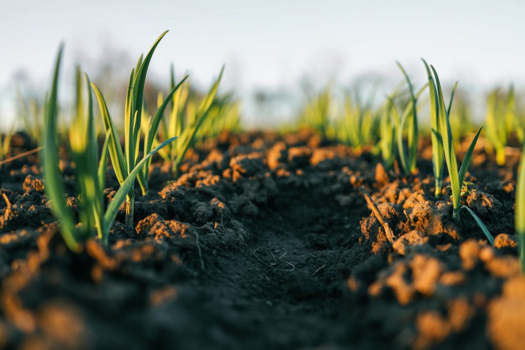
A farm may look uniform from the roadside, but the soil underneath can change significantly from one section to another. One area may retain water well, another may drain quickly, while another may have lower nutrient levels or compacted soil. Soil variability mapping helps farmers identify these differences before making decisions about fertiliser, irrigation, planting density or land preparation.
For commercial farms in Nigeria, especially those managing several hectares, understanding these variations can reduce waste and make field operations more precise. The challenge is not only collecting soil information. Samples, equipment and field teams must also move efficiently between farms, laboratories and operational bases.
What Soil Variability Mapping Actually Shows Farmers
Soil conditions rarely remain identical across an entire farm. Differences can develop because of soil type, previous cropping patterns, erosion, drainage, fertiliser application and even the way machinery has moved across the land.
A proper mapping exercise may examine factors such as:
- Soil pH
- Organic matter levels
- Nitrogen, phosphorus and potassium availability
- Soil texture
- Moisture conditions
- Salinity
- Compaction
- Drainage differences
When these results are linked to specific positions within the field, farmers can see exactly where conditions change instead of treating every hectare the same way.
For example, a maize farm outside Ibadan may have one section that performs poorly every season. Rather than applying more fertiliser across the whole farm, soil testing may show that only that section has a nutrient or drainage problem.
Moving Soil Samples Without Losing Useful Information
Accurate testing depends heavily on how samples are collected, labelled and transported.
A soil sample taken near Kaduna and sent to a laboratory in Abuja becomes far less useful if its location is incorrectly recorded or several samples are mixed together. Each sample should correspond to a clearly identified point or management zone.
For larger projects, logistics planning becomes important. Field teams may collect dozens or hundreds of samples in one day. These need organised packaging, proper documentation and dependable transport to the laboratory.
Travo.ng can support this part of agricultural operations through courier services, vehicle hire, cargo movement and transport coordination, particularly where equipment or collected samples must travel between different locations.
Why Applying the Same Inputs Everywhere Can Be Expensive
One common farming mistake is applying identical quantities of fertiliser or soil treatment across an entire property.
Consider a 100-hectare farm where only 35 hectares require additional lime because of acidic soil. Applying lime uniformly across all 100 hectares means paying for material, loading, transport and spreading on land that may not need it.
Soil variability mapping allows farmers and agronomists to divide fields into practical management zones.
That can help determine where to:
- Increase or reduce fertiliser application
- Improve drainage
- Adjust irrigation
- Change planting density
- Carry out deeper tillage
- Investigate consistently poor crop performance
The objective is not simply to produce a colourful farm map. The information should lead to better operational decisions.
Field Logistics Become More Important on Large Farms
Mapping a small demonstration plot is relatively straightforward. Working across hundreds or thousands of hectares is different.
A team may need to move sampling tools, GPS equipment, field staff and protective equipment between distant sections of a farm. Some projects also involve moving samples from agricultural areas around Abeokuta, Ilorin, Benin City or Kano to testing facilities in larger cities.
Poor transport planning can slow the entire exercise.
Where farms are located away from major roads, suitable vehicles may also be necessary. Travo.ng can coordinate vehicle hire and business logistics support for field teams that need dependable movement of staff, equipment or packaged samples.
Using Mapping Results to Plan the Next Farming Season
The strongest value from soil variability mapping comes when the information is connected to actual farm planning.
Instead of asking, “How much fertiliser does this farm need?” managers can ask a more useful question: “Which parts of this farm need which inputs, and in what quantity?”
That difference can influence procurement, transport requirements, equipment scheduling and overall production costs.
For Nigerian agribusinesses operating farms across multiple locations, planning these activities early is particularly important. Inputs may need to move from Lagos distributors to farms in Ogun, Oyo or Kwara, while machinery and technical teams may be travelling from completely different locations.
By combining accurate soil information with organised logistics, farmers can make better use of both agricultural inputs and operational resources.
Travo.ng supports businesses that need cargo logistics, delivery services, courier movement and transport coordination for agricultural projects. Whether the requirement involves moving soil samples, field equipment or farm supplies, organised logistics helps turn mapping data into practical action on the ground.
