


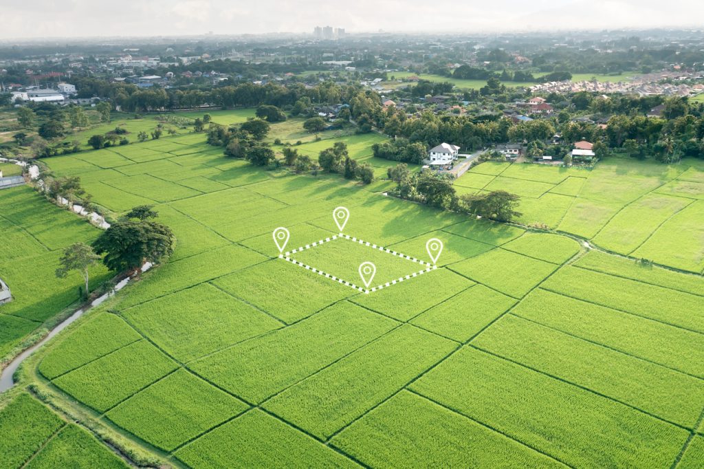
Before buying land or farmland, start with the decision you need to make and the evidence missing from it. A drone map can show terrain and visible features, but cannot confirm title, foundation capacity, water rights or a guaranteed investment return. This guide helps Nigerian investors, developers and public bodies commission a practical site-selection study.
Before buying land: define the property and intended use
Obtain the exact location, claimed boundary and available records from the seller. Ask a qualified surveyor to address the boundary and survey requirements and an appropriate legal professional to investigate the rights and transaction. The Surveyors Council of Nigeria is the professional-regulatory starting point for survey-practice checks. An aerial outline supplied by a seller is not a substitute for the relevant professional verification.
State whether you plan housing, a factory, a logistics hub, crops or another use. Identify the decision stage: initial screening, purchase due diligence, financing or detailed design. A low-cost regional screen should not be represented as a complete plot-level development assessment.
Before buying farmland: assess the crop and production system
Farmland suitability depends on the crop and how it will be grown. FAO’s crop-suitability explanation links soil properties, climate and topography to crop requirements. A general green vegetation map does not establish productive soil, irrigation feasibility or a particular yield.
Ask the agricultural specialist to assess relevant soils, drainage, climate, slope and water conditions alongside access and production needs. Verify local conditions through appropriate fieldwork and testing. National or regional datasets help screen opportunities but may be too coarse for final planting or infrastructure decisions. Record data dates and assumptions, especially where climate or water availability affects the proposal.
Real estate development, estates and master planning
For a large estate, combine boundary information with terrain, access, drainage, existing features and infrastructure constraints. Ask what survey accuracy and ground information the designer needs. A digital surface model can include buildings and vegetation, so clarify whether the project requires a ground terrain model. See aerial mapping and LiDAR deliverables before choosing a product.
Property development feasibility also needs planning, servicing, environmental, market and cost considerations. A contour plan does not establish permission to build or prove demand for the completed project. Keep the responsibilities of surveyor, engineer, planner, legal adviser and commercial assessor explicit in the scope.
Industrial site selection and factory assessment
Define power, water, access, ground, environmental and operational requirements before ranking sites. A factory may need a different loading area, drainage arrangement or utility connection from a warehouse. Establish which services are actually available and what connection work is required, rather than treating a nearby line or road on a map as a confirmed service.
Commission the relevant construction site investigation before relying on foundation or ground-stability assumptions. Describe future phases and possible heavy equipment so the assessment is not limited to the first small building. A site score should explain its evidence, weighting and uncertainty rather than presenting an unexplained “best location” result.
Logistics hub site assessment
Examine the actual vehicle routes and access, loading space, turning requirements, storage specification and intended customer network. A straight-line distance to a port or airport is not a delivery-time forecast. Check which gate, terminal or handling location the operation would use and the constraints affecting the real route.
For cargo-airport context, compare Ogun and Anambra freight acceptance and road connections. For mobilisation and construction access, see Nigeria logistics resources and project planning. Keep warehouse suitability, customs processes and transport arrangements as separate confirmed workstreams in the business case.
Government mapping, smart cities and regional development
Municipal mapping and state resource inventories need consistent definitions, reference systems, dates and data ownership. Agree which roads, public assets, land uses or resource indicators will be captured and how updates will be maintained. A smart-city dashboard should identify the responsible data owner and the decision it supports.
National resource mapping and economic development analysis combine information at different scales. Do not treat a regional mineral-potential layer as proof of a commercial deposit on one plot, or a land-capability layer as a guaranteed investment opportunity. The GIS and spatial analytics guide explains validation and usable handover requirements. Publish uncertainty and restrict sensitive personal or infrastructure information appropriately.
Land and site-selection brief
Use this checklist to prepare your enquiry. Selections stay on this page only.
Coordinate land assessment with Travo
send Travo your enquiry with the location, approximate area, proposed use and purchase or design deadline. Ask Travo to confirm the technical provider, survey outputs and field logistics through the Travo service catalogue. Compare land and mining investment evidence where mineral potential is part of the proposal. The final scope should show what the study can establish, what still requires verification and which professional signs each conclusion.
