


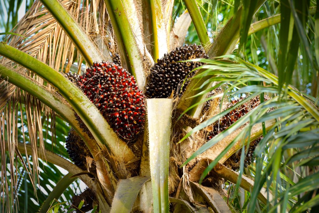
Oil palm plantation mapping is becoming increasingly useful for plantation owners, agricultural investors, field managers, and organisations that need a clear picture of where their palm trees, access roads, boundaries, facilities, and undeveloped sections are located.
In practice, managing a plantation without reliable spatial information can create expensive problems. A manager may know that a farm covers several hectares, but still struggle to identify which blocks have mature palms, where replanting is required, which roads become inaccessible during the rainy season, or how far harvested fruit must travel before reaching the collection point.
Good mapping turns a large plantation into something that can be planned and managed more systematically.
What Oil Palm Plantation Mapping Should Actually Show
A useful plantation map should provide more than an outline of the property.
Depending on the purpose of the survey, oil palm plantation mapping can identify:
- Plantation and individual block boundaries
- Existing oil palm cultivation areas
- Young, mature, and unproductive sections
- Internal roads and vehicle access routes
- Drainage channels and waterways
- Buildings, storage areas, and processing facilities
- Harvest collection points
- Unplanted or degraded land
- Difficult terrain and seasonal access areas
This information becomes particularly important on plantations spread across several communities or operating locations.
For example, a plantation outside Benin City or around parts of Edo State may have different access conditions during the dry and rainy seasons. A road that comfortably takes a pickup or small truck in February may become difficult for the same vehicle during heavy rains.
Mapping these routes helps field teams plan movement before harvest operations begin.
Field Access Is Often the Hard Part of Plantation Mapping
Collecting plantation data is not only a technical exercise. Logistics can determine whether the field work runs smoothly.
Surveyors may need to move between distant farm blocks carrying GPS equipment, drones, batteries, laptops, measuring tools, and other field materials. Some plantation sections may be several kilometres from the nearest major road.
Transport therefore needs to match the terrain.
A regular saloon car may work for meetings at the plantation office, while an SUV, pickup, or other suitable vehicle may be required for interior farm roads.
Travo.ng can support the transport coordination behind projects like these, including vehicle hire, driver arrangements, airport pickup for visiting consultants, and movement between hotels, plantation offices, and field locations.
Planning Mapping Work Across Multiple Locations
Large agricultural companies may operate plantations in Edo, Ondo, Cross River, Akwa Ibom, Delta, or other oil-palm-producing areas.
When a mapping team needs to cover several sites, the schedule should account for more than the distance shown on a map.
Travel time can be affected by:
- Poor rural access roads
- Rainfall and flooded sections
- Ferry or river crossings in some locations
- Vehicle breakdown risks
- Fuel availability
- Equipment charging requirements
- Accommodation distance from the plantation
It is usually better to group nearby plantation blocks together rather than repeatedly travelling back and forth from a distant city.
For projects involving consultants flying into Nigeria or travelling domestically, airport pickup and hotel arrangements can also be coordinated before the field team arrives.
How Mapping Helps Harvest and Transport Planning
Plantation maps can also support everyday logistics.
Fresh fruit bunches need to move efficiently from harvesting areas to collection points and onward to processing facilities. Poorly planned internal movement increases delays and vehicle operating costs.
Mapping can help managers estimate which blocks are closest to particular access roads, where additional collection points may be useful, and which routes need maintenance before peak harvesting periods.
For expanding plantations, maps can also guide decisions on where new roads, storage areas, staff facilities, or loading points should be positioned.
Coordinating the Logistics Behind Plantation Surveys
Oil palm plantation mapping works best when field teams can concentrate on collecting accurate data rather than struggling with transport and movement arrangements.
Travo.ng can assist organisations coordinating agricultural field projects with practical services such as vehicle hire, driver support, airport pickups, hotel reservations, interstate transport, cargo movement, and business logistics support.
For plantation owners planning mapping, expansion, crop assessment, or field surveys, organising the movement side of the project early can reduce delays and make it easier for technical teams to cover every required location efficiently.
