


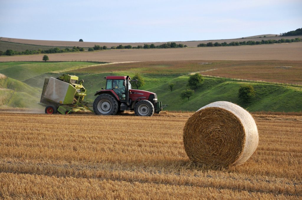
Managing a large farm in Nigeria is difficult when decisions depend only on what can be seen from the roadside or during occasional field inspections. A farm may cover hundreds of hectares, yet problems such as water stress, poor crop development or flooding can start in sections that workers do not visit regularly.
Agricultural remote sensing helps farmers, agribusinesses and agricultural project managers observe farmland using information collected by satellites, drones and other sensors. When combined with proper field inspections and reliable logistics, this information can help teams decide where attention, equipment and transport resources are needed most.
What Agricultural Remote Sensing Can Actually Show Farmers
Remote sensing does not replace people on the farm. Instead, it helps them know where to look.
Satellite or drone imagery can reveal differences across a field that may indicate:
- uneven crop growth;
- possible water stress;
- areas affected by flooding;
- changes in vegetation coverage;
- sections requiring closer inspection;
- differences in soil or moisture conditions.
For example, a maize farm outside Kaduna may look generally healthy from ground level. Satellite imagery might identify a section developing differently from the rest of the farm. The farm manager can then send an agronomist or field team specifically to that location instead of inspecting every hectare manually.
This becomes especially useful for commercial farms spread across several locations.
Remote Sensing Still Requires Reliable Field Logistics
One mistake businesses make is treating agricultural technology as if everything happens on a computer screen.
An image may identify a suspicious part of a farm, but somebody still has to travel there, inspect the crops, collect samples or deliver the required inputs.
Consider an agribusiness managing farms around Abuja, Nasarawa and Niger State. After reviewing satellite data, the company may need to move field officers to two farms, deliver fertilizer to another location and collect samples for laboratory testing.
That creates a transport problem as much as a data problem.
Travo.ng can support these operations through vehicle hire, transport coordination, courier services and business logistics arrangements. Instead of field teams separately searching for transport every time an inspection is required, movement can be planned around the locations highlighted for attention.
Using Agricultural Remote Sensing to Plan Input Distribution
Remote sensing can also make agricultural logistics more focused.
If farm monitoring shows that only specific sections require intervention, managers may avoid sending the same quantity of inputs everywhere. After the agronomy team confirms what is needed on the ground, fertilizer, seedlings, irrigation equipment or other materials can be allocated more accurately.
For farms supplying produce into Lagos, Abuja or Port Harcourt, better monitoring can also improve harvest planning.
Knowing which fields are developing faster helps operations teams prepare vehicles, temporary storage and delivery arrangements before produce is ready for evacuation.
This is particularly important for vegetables, fruits and other perishables where delays between harvesting and transportation can quickly reduce quality.
What to Check Before Relying on Remote Sensing Data
Agricultural remote sensing works best when businesses understand its limits.
Cloud cover can affect some satellite images, particularly during Nigeria’s rainy season. Drone surveys may require suitable weather conditions and proper operating procedures. Satellite information may also need interpretation by someone who understands crop conditions and local farming realities.
Businesses should therefore combine imagery with:
- physical farm inspections;
- accurate farm boundaries and location records;
- agronomic knowledge;
- historical crop information;
- reliable transport for field verification.
The technology should guide operational decisions rather than replace professional judgement.
Turning Farm Data Into Practical Action
The real value of agricultural remote sensing appears when information leads to faster action.
Spotting crop stress is useful. Getting an agronomist to the affected field quickly is better. Identifying a likely harvest window is helpful. Having trucks and cargo arrangements ready before harvesting begins is what keeps produce moving.
For agricultural businesses operating across multiple Nigerian states, the strongest system combines farm intelligence with dependable movement.
Travo.ng can help coordinate vehicle hire, field-team transportation, courier movement and cargo logistics required after remote sensing identifies where attention is needed. This gives agricultural operators a practical way to connect digital farm monitoring with the physical work of inspecting fields, moving people and transporting agricultural goods.
