


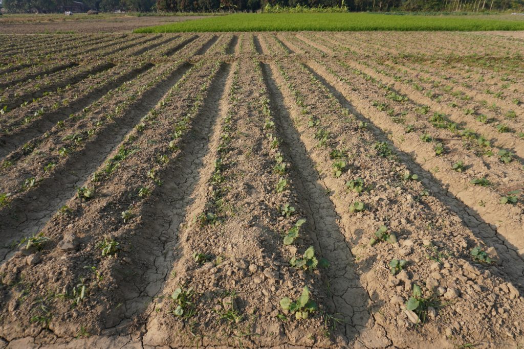
Poor drainage can turn a productive farm into a difficult place to operate after only a few hours of heavy rain. Access roads become muddy, vehicles struggle to reach loading points, crops remain in standing water, and harvesting or delivery schedules can be disrupted.
Farm drainage mapping helps farmers and agricultural businesses understand how water moves across their land before these problems become expensive. It involves identifying low-lying areas, natural water channels, slopes, blocked drainage paths, access routes, and sections of the farm that regularly collect water.
For Nigerian farms where rainfall can be intense and road access is sometimes already challenging, having this information makes everyday operations easier to plan.
What Farm Drainage Mapping Actually Shows
A useful drainage map should do more than mark where drains currently exist. It should help the farm operator see how water behaves across the property.
Depending on the farm and location, mapping may identify:
- Areas where rainwater regularly collects
- Natural slopes and runoff direction
- Existing gutters, trenches, culverts, and channels
- Farm roads vulnerable to flooding
- Sections where vehicles or tractors may get stuck
- Potential locations for new drainage channels
- Loading areas that need improved water control
On a large farm outside Ibadan, Abeokuta, Benin City, or Ilorin, for example, the lowest section of the land may remain wet long after the main rainfall has stopped. Without proper mapping, a farmer may repeatedly spend money filling damaged access roads without addressing where the water is actually coming from.
How Drainage Problems Affect Farm Logistics
Waterlogging is not only an agricultural issue. It quickly becomes a logistics problem.
Imagine a truck scheduled to collect vegetables at 7 a.m. after overnight rainfall. If the internal farm road is flooded or too soft for a loaded vehicle, the driver may have to stop hundreds of metres away from the collection point.
That creates additional handling, labour costs, delays, and possible damage to perishable produce.
Effective farm drainage mapping can help operators protect important movement areas, including:
- Produce collection points
- Storage facilities
- Poultry or livestock sections
- Farm entrances
- Internal haulage roads
- Machinery parking areas
Businesses moving produce regularly should consider drainage conditions when planning transport routes and loading schedules.
When You Should Consider Mapping Your Farm
The best time to investigate drainage is before a major expansion, road construction, warehouse installation, or new cultivation project.
However, existing farms can also benefit.
Warning signs include water remaining on the land for several days, recurring erosion, damaged farm roads, vehicles frequently getting stuck, collapsing drainage channels, or sections of the farm becoming inaccessible during the rainy season.
In southern Nigeria, these problems often become more noticeable during periods of sustained rainfall. Waiting until harvesting season before addressing them can make transport coordination much harder.
Combine Drainage Planning With Better Transport Coordination
Mapping alone does not move harvested produce.
Once access conditions are understood, farm operators can plan suitable vehicles, loading locations, collection times, and alternative routes more effectively.
For example, lighter vehicles may be appropriate for moving produce from wet sections of a farm to a firm collection point, where larger trucks can take over for interstate movement.
Travo.ng can support agricultural businesses that need practical transport coordination, cargo movement, vehicle arrangements, and logistics planning between farms, warehouses, markets, processing facilities, and customers.
A farm sending produce from Ogun State into Lagos may need collection coordinated around rainfall, road conditions, market delivery windows, and vehicle capacity. Those details matter just as much as the distance on a map.
Avoid These Common Drainage Planning Mistakes
One common mistake is digging trenches wherever water appears without first understanding the natural direction of runoff. This can simply move flooding from one part of the farm to another.
Another is ignoring access roads while concentrating only on crop areas.
Farm drainage mapping should consider the entire operation, including where workers enter, where trucks turn, where produce is loaded, and how machinery moves after rainfall.
Farmers should also inspect drainage systems regularly. Channels that worked properly when installed can become blocked by vegetation, soil, waste, or erosion.
Better Mapping Makes Farm Operations Easier
Good drainage planning protects more than crops. It helps keep farm roads usable, improves access to storage and loading points, reduces unnecessary vehicle delays, and supports more reliable movement of agricultural goods.
For farms supplying markets, processors, supermarkets, restaurants, or distributors, reliable access can directly affect whether deliveries leave on schedule.
With proper farm drainage mapping and sensible logistics planning, agricultural businesses can prepare for rainfall instead of repeatedly reacting to flooded roads and disrupted collections. Travo.ng can assist with the transport and logistics side of that plan, helping coordinate vehicles and cargo movement when produce is ready to leave the farm.
