

Traveling from Benin City to Asaba is one of the shortest and most frequently used interstate routes in southern Nigeria. It connects Edo State’s capital with Delta State’s capital, two major administrative and commercial cities linked by heavy daily movement.
From Ring Road, Sapele Road, Ugbowo, New Benin, and Aduwawa areas in Benin City, travelers move eastward through the Benin–Asaba expressway before arriving in Asaba areas like Summit Road, Okpanam, Cable Point, and DBS.
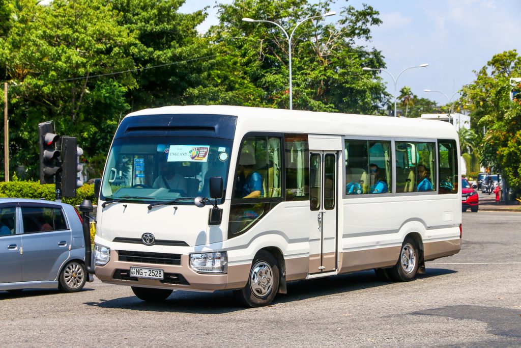
It is a fast but very active route used for business, commuting, and logistics movement.
Why Benin to Asaba Is a High-Frequency Route
This corridor is busy because it connects:
- Edo State commerce and transport activity
- Delta State administrative and business hub
- Traders moving goods between both cities
- Workers commuting for short interstate trips
- Logistics services handling fast regional deliveries
Because of its short distance, it is often used for same-day return travel.
The Journey Starts in Benin City Before the Highway Begins
Even though the trip is short, travel still begins with city movement.
Typical departure process includes:
- Boarding at Ring Road, Sapele Road, or New Benin terminals
- Local Benin City traffic before exit
- Ticket confirmation and luggage loading
- Passenger coordination for interstate buses
- Movement onto the Benin–Asaba expressway
Morning departures usually move faster and more smoothly.
What the Benin to Asaba Road Journey Is Really Like
Once the journey begins, the route is straightforward:
- Benin City exit → Agbor axis (Delta State boundary area)
- Igbanke / Ubulu-Okiti stretch
- Entry into Asaba via Onitsha–Asaba expressway corridor
- Final arrival at Summit Road or central Asaba
On a smooth trip, travel time is around 1.5–3 hours, depending on traffic and road conditions.
What First-Time Travelers Usually Experience
If it’s your first Benin to Asaba trip, expect:
- Quick highway travel with limited stops
- Possible slowdowns near Agbor and boundary areas
- Occasional traffic around Asaba entry points
- Smooth and structured arrival into the city
- Easy same-day return travel options
It is one of the more comfortable interstate routes in southern Nigeria.
Why This Route Matters for Business and Daily Movement
Benin to Asaba supports key movement such as:
- Inter-state trade and market activity
- Government and administrative travel
- Short-distance corporate meetings
- Logistics and courier services
- Daily commuting between Edo and Delta regions
It is a key link between two closely connected state capitals.
Common Mistakes People Make on Benin to Asaba Trips
Even on short routes, travelers still make avoidable mistakes:
1. Ignoring short delays around Agbor axis
This can slow down movement unexpectedly.
2. Poor timing during peak hours
Morning rush can affect travel time.
3. Not confirming exact drop-off point in Asaba
Different parks serve different areas.
4. Assuming no traffic means instant travel
Minor delays still occur on the corridor.
5. Poor planning for return trips
Same-day travel requires coordination.
Why Timing Matters More Than Distance
On Benin to Asaba trips, distance is short—but timing still matters.
What affects your journey most:
- Departure timing from Benin City
- Traffic at Agbor and boundary areas
- Road conditions along the expressway
- Entry flow into Asaba city
- Time of day (peak vs off-peak travel)
Even a short trip can vary depending on these factors.
How Travo.ng Helps With Benin to Asaba Travel
Instead of relying on uncertain motor park arrangements, Travo.ng helps travelers plan better.
With it, you can:
- Plan Benin to Asaba trips quickly
- Compare transport options in advance
- Arrange fast parcel delivery between cities
- Reduce waiting time at terminals
- Combine travel booking and logistics coordination in one platform
It makes short interstate travel more efficient and predictable.
Final Thoughts on Benin to Asaba Travel
The Benin to Asaba route is one of the simplest and most frequently used interstate corridors in southern Nigeria, connecting two closely linked state capitals.
While the journey is short, proper timing and planning still make it smoother and more reliable.
With tools like Travo.ng, travelers can move more efficiently, reduce delays, and manage both travel and logistics in a more organized way.
