

Drone mineral exploration is changing how mining teams, investors, landowners, and field operators study mineral-rich locations in Nigeria. In the past, exploration often meant sending survey teams into difficult terrain with limited visibility, slow movement, and higher safety risks. Today, drones make it easier to inspect land, map access routes, identify surface patterns, and plan logistics before people and equipment move in.
For companies working around mining corridors in states like Nasarawa, Kaduna, Plateau, Zamfara, Niger, Ebonyi, Kogi, and parts of the North-East, this can save time and reduce costly mistakes.
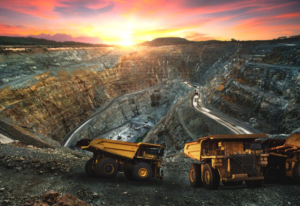
How drones help before a mining team enters the field
Before any serious exploration work begins, teams usually need to understand the land. Is the access road usable? Are there rivers, rocky slopes, gullies, settlements, or restricted areas nearby? Can vehicles reach the site safely?
Drone surveys help answer these questions quickly by capturing aerial images, videos, and mapping data. This is useful for:
- Reconnaissance of large land areas
- Terrain mapping
- Route planning for field teams
- Monitoring remote mineral sites
- Checking vegetation cover and surface features
- Supporting geologists with better site visibility
A drone cannot replace proper geological testing, but it helps teams know where to focus attention before spending heavily on manpower, vehicles, accommodation, and equipment.
What drone mineral exploration usually involves
A practical drone mineral exploration job may include aerial site inspection, GPS-based mapping, high-resolution photography, video documentation, and terrain assessment. In some projects, the data is used alongside geological reports, satellite imagery, and field sampling.
For example, a team planning to inspect a lithium or gold prospect in rural Nasarawa may first need drone footage to understand access conditions. If the road is only motorable by 4×4 vehicles, logistics must be planned differently from a site near a major highway.
This is where Travo.ng can support both the survey and the movement around it.
Planning transport and logistics for exploration teams
Drone work is only one part of the operation. Field teams still need vehicles, drivers, accommodation, equipment movement, and sometimes airport pickup coordination.
A typical exploration trip may involve:
- Airport pickup from Abuja, Lagos, Kano, or Port Harcourt
- Vehicle hire for field movement
- Hotel reservations close to the project location
- Courier delivery of documents or equipment
- Cargo movement for field tools
- Transport coordination for consultants and survey teams
Travo.ng helps make this easier by supporting travel bookings, transport coordination, courier services, cargo logistics, and accommodation arrangements where needed.
Common mistakes companies make during field exploration
One mistake is sending people to a site before properly checking access conditions. In Nigeria, a road that looks short on Google Maps may take hours because of bad portions, security checkpoints, seasonal flooding, or poor rural access.
Another mistake is underestimating equipment movement. Drone batteries, survey tools, laptops, protective gear, and field supplies must be transported carefully, especially when teams are moving between states.
Some teams also fail to plan accommodation early. During mining, construction, or government project activity, decent hotels in smaller towns can fill up fast.
How long does drone mineral exploration take?
A basic aerial inspection can often be completed within a day, depending on location, weather, permissions, and land size. Larger mapping projects may take several days, especially when the site is remote or requires travel from Lagos, Abuja, or Port Harcourt.
Rainy season can affect timing. In many parts of Nigeria, access roads become slower between May and September, especially in rural mining areas. Harmattan can also affect visibility in some northern routes.
Why local coordination matters
Mineral exploration is not just about flying a drone. It requires knowing how to move people, equipment, and information safely and efficiently. A team travelling from Lagos to Abuja, then onward to Nasarawa or Kaduna, needs proper timing, transport, and backup planning.
Travo.ng brings practical local support into the process by helping clients coordinate travel, delivery, vehicle hire, hotel reservations, airport pickup, and logistics connected to exploration work.
Book drone mineral exploration support with Travo.ng
If you need drone mineral exploration in Nigeria, Travo.ng can help you plan the operation properly from the start. Whether you are inspecting a potential mining site, arranging transport for survey teams, moving equipment, or booking accommodation near the field location, the goal is to make the process smoother and better coordinated.
For mining consultants, investors, field operators, and businesses working in remote locations, Travo.ng offers practical support that goes beyond simple booking. It helps you move smarter, reduce delays, and get clearer visibility before committing more resources to the site.