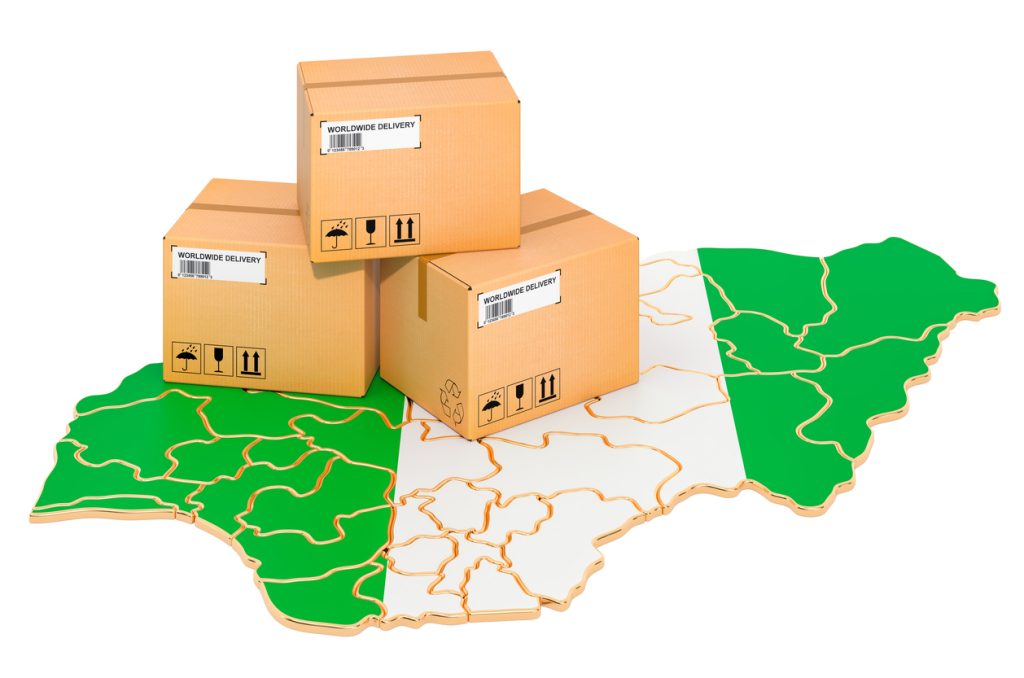
What Is a Postal Code in Nigeria?
A postal code, also called a ZIP code, is a six-digit number used by NIPOST (Nigerian Postal Service) to identify specific locations for mail and package delivery. These codes ensure accurate sorting, dispatch, and delivery of letters, parcels, and courier shipments across Nigeria.
Structure of Nigerian Postal Codes
Nigeria’s postal codes follow a 6-digit format:
- First Digit: Denotes one of the 9 regions in Nigeria
- Second & Third Digits: Represent the local dispatch district
- Last Three Digits: Identify the specific delivery area (post office or community)
Examples of Postal Codes in Nigeria
| Location | Postal Code |
|---|---|
| Ikeja, Lagos | 100001 |
| Abuja (Garki) | 900001 |
| Port Harcourt | 500001 |
| Enugu Main | 400001 |
| Kano Central | 700001 |
| Ibadan North | 200001 |
| Benin City | 300001 |
Note: +234 is Nigeria’s international dialing code and not a postal code.
How to Find Postal Codes in Nigeria
To get the correct postal code for your area:
- Use the official NIPOST lookup tool: nigeriapostcodes.com
- Search by state, LGA, or town name
- Confirm the full 6-digit code for your delivery address
Why Postal Codes Matter
Using the correct postal code:
- Ensures timely delivery of your mail or parcel
- Helps logistics companies like Travo.ng accurately route shipments
- Reduces delays and lost items in the postal system
- Assists with online address forms and e-commerce checkouts
Postal Codes for Major Nigerian Cities
- Lagos Mainland: 101001–102273
- Abuja (FCT): 900001–901101
- Kano: 700001–702271
- Enugu: 400001–402131
- Ibadan: 200001–202271
Conclusion
Postal codes are vital for successful deliveries in Nigeria. Whether you’re sending a package or filling out an online form, knowing the correct postal code for your location can save you time and prevent errors. For logistics, Travo.ng uses Nigeria’s full postal code system to ensure your deliveries reach the right address, every time.


